
Seattle Transportation Guide: Getting Around Seattle
Seattle’s transportation system can feel like a maze when you first arrive. The hills, the water, the neighborhoods spreading in every direction—it’s a lot to take in.
I’ve spent years navigating this city, and I’ve learned that getting around Seattle becomes simple once you understand your options. This guide breaks down every transportation method available, from light rail to ferries, buses to rideshares, helping you move through the Emerald City with confidence.
Whether you’re visiting Pike Place Market, heading to a Seahawks game, or exploring neighborhoods like Ballard or Capitol Hill, you’ll find the right transportation strategy here.
Seattle rewards those who plan ahead, and this complete overview ensures you’ll spend less time stressed about logistics and more time enjoying everything this incredible city offers.
If you’re interested in seeing and knowing more of the city, make sure to bookmark my full guide to Seattle.
Seattle Transportation Guide: Complete Overview
Seattle’s unique geography shapes how people move through the city. Built on hills between Puget Sound and Lake Washington, the city stretches north to south with water defining its eastern and western boundaries.
Downtown sits in the center with neighborhoods radiating outward, each with distinct character and varying transportation accessibility. Understanding this layout helps you choose the right transportation method for each journey.
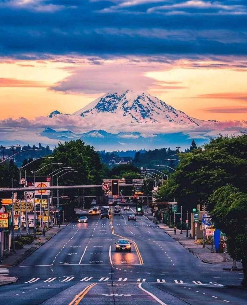
The city’s topography means some areas connect easily while others require planning. Capitol Hill sits on one of Seattle’s steepest hills, making walking challenging but providing incredible views.
The University District lies flat and bike-friendly. West Seattle sits across the Duwamish Waterway, accessible by bridge with limited transit options. Queen Anne’s upper and lower sections feel like different neighborhoods entirely due to elevation changes.
Transportation Choices by Situation
Your transportation choice depends on several factors including budget, time constraints, luggage, weather, and destination. Downtown to Capitol Hill via light rail takes 5 minutes and costs $2.75.
The same trip by car involves parking challenges and potentially $30 in fees. Rainy days make covered transit more appealing than walking or biking. Heavy luggage rules out buses with multiple transfers.
Budget travelers rely heavily on public transportation, which costs significantly less than driving when you factor in parking. Time-sensitive business travelers often choose rideshares despite higher costs.
Tourists benefit from multi-day passes allowing unlimited transit rides. Families with small children need transportation accommodating strollers and car seats. Each situation demands different solutions, and Seattle provides options for all scenarios.
Neighborhood Connectivity Patterns
Some neighborhoods connect seamlessly to the city’s transit network while others remain challenging to reach without cars. Capitol Hill, University District, and downtown enjoy excellent light rail and bus service with frequent departures and extended hours.
Neighborhoods like Fremont, Ballard, and Wallingford depend primarily on buses with less frequent service. West Seattle, Magnolia, and some parts of North Seattle require longer travel times or transfers when using public transportation.
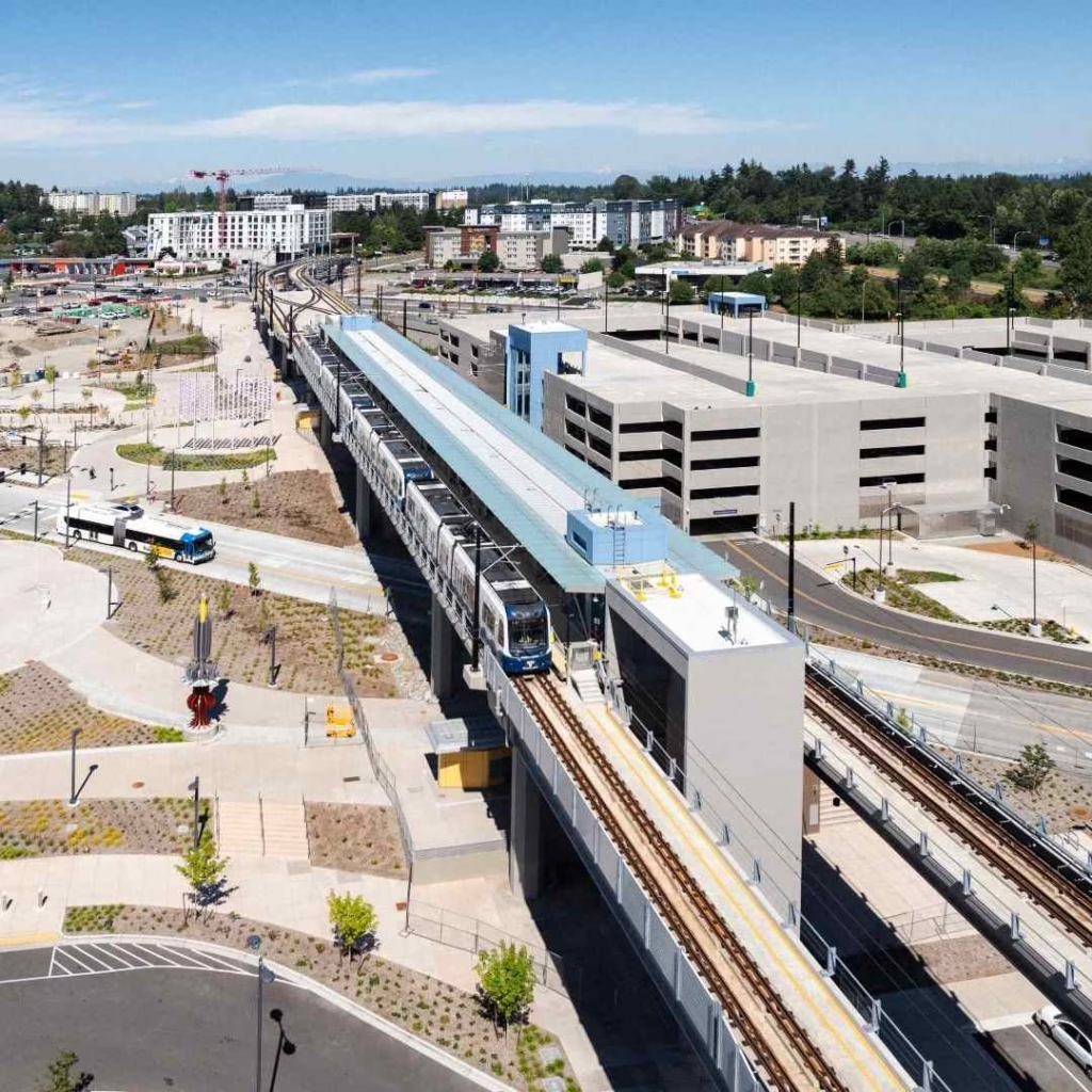
Understanding these patterns prevents frustration. If you’re staying in Ballard and plan to visit downtown multiple times daily, budget extra travel time or consider rideshares.
Visitors staying near light rail stations gain maximum mobility. The system works incredibly well once you match your accommodation location to your planned activities.
Seattle Transportation Guide For Airport (SEA/Tacoma International)
Getting around Seattle airport starts with understanding your options from the moment you land at Seattle-Tacoma International Airport.
The airport sits about 14 miles south of downtown, and multiple transportation methods connect you to the city efficiently. Your choice affects both your budget and arrival experience significantly.
The Link Light Rail provides the most economical option at $3.00 per ride, taking approximately 38 minutes to reach downtown Westlake Station. Trains depart every 8 to 10 minutes during peak hours and every 15 minutes during off-peak times.
The station connects to the terminal via a covered walkway, keeping you dry during Seattle’s frequent rain. Service runs from 5:00 AM to 1:00 AM on most days, covering the majority of flight arrivals.
Rideshare and Taxi Options
Rideshares from SEA to downtown cost $35 to $50 depending on traffic and surge pricing. Uber and Lyft pickups happen on the third floor of the parking garage in a clearly marked area.
Wait times average 5 to 15 minutes after requesting your ride. The drive takes 20 to 35 minutes under normal conditions but can extend to 50 minutes during rush hour.
Taxis wait at designated stands on the third floor with typical fares to downtown running $45 to $55 plus tip.
No surge pricing applies, but you might wait longer during busy periods. Both taxis and rideshares offer direct service to any address, making them convenient when you have luggage or need to reach areas not served by light rail.
Rental Cars and Shuttles
Rental cars operate from a consolidated facility reached by shuttle from the terminal. All major companies maintain counters there, and shuttles run every 5 to 10 minutes.
Renting makes sense if you’re exploring beyond Seattle or need a vehicle for business trips to suburban areas like Bellevue or Redmond. However, downtown visitors often skip rentals due to expensive parking and excellent public transit.
Shared shuttles to hotels cost $18 to $40 per person with companies like Shuttle Express providing regular service.
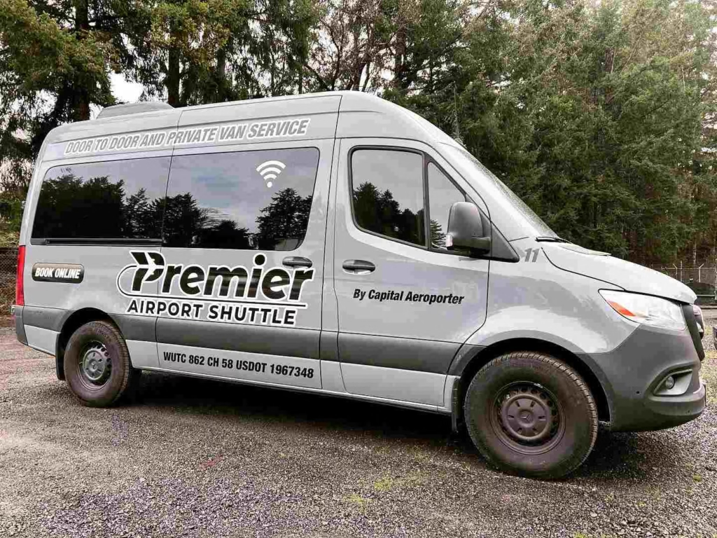
These work well for hotel stays in areas without convenient light rail access. Private shuttles and car services offer guaranteed timing and door-to-door convenience at premium prices ranging from $65 to $100.
Seattle Public Transportation Guide
Seattle public transportation forms the backbone of the city’s mobility network. King County Metro operates the bus system with over 200 routes covering Seattle and surrounding areas.
The Link Light Rail connects the airport to downtown, Capitol Hill, University District, and neighborhoods extending north and south. The Seattle Streetcar serves South Lake Union and First Hill. Washington State Ferries link Seattle to islands and peninsulas across Puget Sound.
The ORCA card simplifies payment across all transit systems. This reloadable card works on buses, light rail, streetcars, ferries, and even some regional transit services. Purchase cards at light rail stations, retail locations, or online.
Adult fares for buses and light rail range from $2.75 to $3.50 depending on time and distance. Reduced fares serve seniors, youth, and people with disabilities.
System Reliability and Hours
Metro buses run frequently on major routes during weekday commute hours with service every 10 to 15 minutes. Evening and weekend service reduces to every 30 to 60 minutes depending on the route.
Some routes operate 24 hours while others stop running around midnight. Light rail maintains consistent schedules with trains arriving every 8 to 10 minutes most of the day.
The system’s reliability generally ranks high, though traffic can delay buses on surface streets. Light rail avoids traffic entirely, making it the most predictable option.
Real-time arrival information through apps like OneBusAway or Transit helps you plan connections and minimize wait times. Winter weather occasionally disrupts service, particularly on hilly routes where buses struggle in snow and ice.
Ferry System Integration
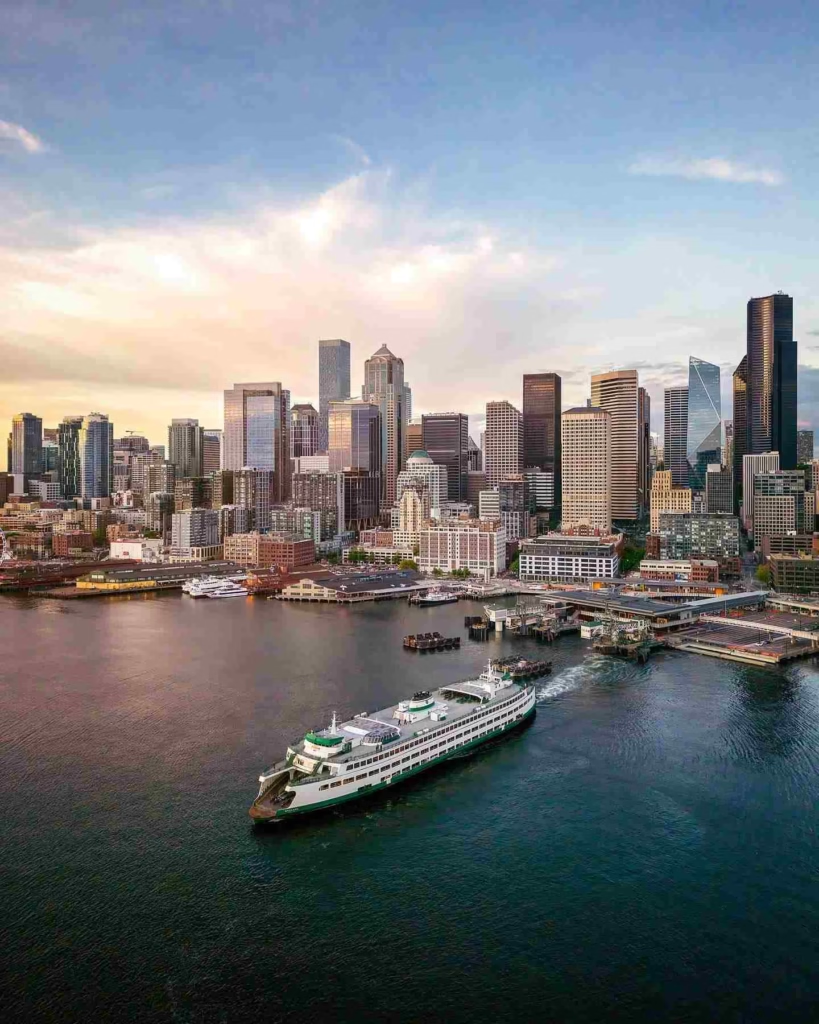
Washington State Ferries connect Seattle’s waterfront to Bainbridge Island and Bremerton. These ferries depart from Colman Dock downtown with sailings throughout the day.
Walk-on passengers pay $9.25 to $9.65 depending on destination. The ferry ride takes 35 minutes to Bainbridge Island, offering stunning views of the Seattle skyline and Puget Sound. ORCA cards work on ferries, making transfers seamless.
Many locals use ferries for commuting, and the system integrates well with other transit options. From the ferry terminal, you can catch buses, light rail, or walk to downtown destinations. The ferry experience itself becomes a memorable part of visiting Seattle, combining practical transportation with scenic enjoyment.
How to Get Around Seattle Without a Car?
How to get around Seattle without a car is easier than many people expect. The combination of light rail, buses, rideshares, and walkable neighborhoods means you can access most major attractions and areas without driving.
This approach saves money on parking, eliminates traffic stress, and often gets you places faster than driving during peak hours.
Light rail forms the foundation of car-free Seattle navigation. The line runs from the airport through downtown, Capitol Hill, University District, and continues north to Northgate.
From any light rail station, buses connect you to surrounding neighborhoods. This hub-and-spoke system covers vast portions of the city efficiently. A seven-day pass costs $29, providing unlimited rides and quickly paying for itself with frequent use.
Walking and Micro-Mobility
Downtown Seattle remains highly walkable with most attractions within a 20-minute walk of each other. Pike Place Market, the waterfront, Pioneer Square, and the retail core all sit close together.
Capitol Hill’s commercial district along Broadway and Pike Street supports pedestrian exploration. The University District concentrates shops, restaurants, and campus buildings in walkable clusters.
E-bikes and scooters from companies like Lime supplement walking for longer distances. These rentals cost $1 to unlock plus 15 to 30 cents per minute.
Bike lanes on many streets provide safer riding, though Seattle’s hills challenge less experienced cyclists. Scooters work well for flat areas but struggle on steep inclines.
Strategic Rideshare Use
Even committed car-free travelers occasionally need rideshares for specific trips. Use them strategically for destinations poorly served by transit or when carrying purchases from shopping trips.
Late-night returns from restaurants or events in neighborhoods like Fremont or Ballard often justify the convenience. The key is planning most trips via transit and reserving rideshares for situations where they genuinely add value.
Combining transportation modes maximizes efficiency. Take light rail to Capitol Hill, explore on foot, then catch a bus to the University District. This multi-modal approach works brilliantly in Seattle where different systems complement each other naturally.
Getting Around Seattle by Bus
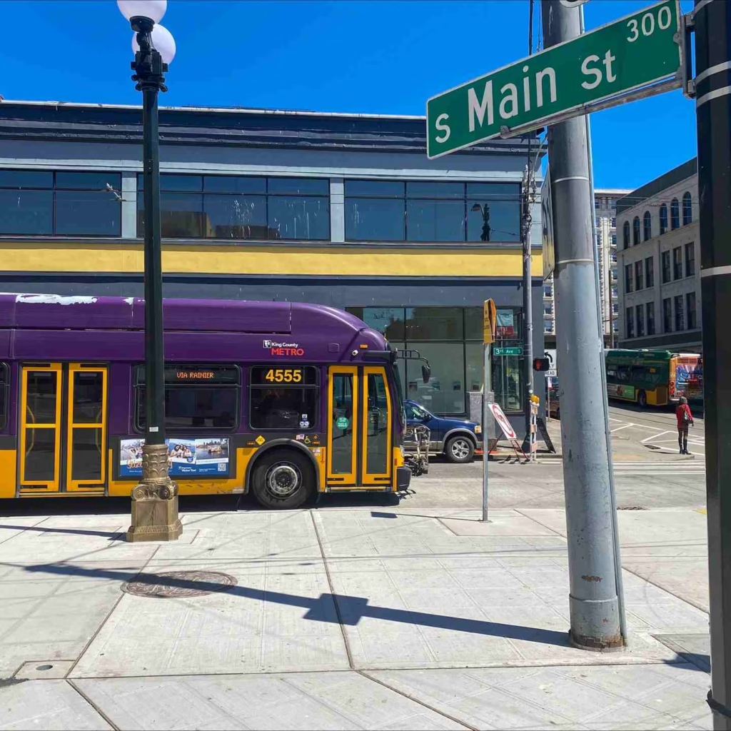
Getting around Seattle by bus opens access to neighborhoods light rail doesn’t reach. King County Metro operates comprehensive service with routes covering every corner of the city.
RapidRide lines provide frequent service with distinctive red buses on major corridors. Routes C and D serve downtown to Ballard and Fremont Neighborhood. The E Line runs from downtown through Aurora Avenue to North Seattle.
Standard bus service varies dramatically by route and time. High-frequency routes during commute hours make buses reliable transportation. Route 40 connects Fremont to the University District, running every 15 minutes most of the day.
Route 5 travels from the University District through downtown to West Seattle with similar frequency. Less-traveled routes might run only every 60 minutes, requiring careful schedule checking.
Night and Weekend Service
Late-night bus service exists but becomes limited after midnight. Night Owl routes serve core areas with reduced frequency. Weekend service generally matches evening weeknight schedules rather than peak daytime frequency.
This reality means planning evening activities requires checking return transportation options beforehand. Many people switch to rideshares for late-night travel when buses stop running or become infrequent.
RapidRide routes maintain better evening and weekend service than standard buses. These lines prioritize reliability with dedicated stations, off-board payment, and frequent schedules. If your route includes RapidRide service, it typically provides the most dependable bus transportation throughout the week.
Accessibility and Comfort
Metro buses feature low floors, wheelchair ramps, and designated seating areas for people with mobility needs. Bike racks on front bumpers accommodate two bicycles per bus. Real-time arrival screens at major stops show upcoming buses. The OneBusAway app provides accurate arrival predictions and service alerts helping you plan trips confidently.
Bus comfort varies by vehicle age and route. Newer buses offer smooth rides with comfortable seating. Older buses on some routes feel more worn.
Peak-hour buses fill quickly with standing room only during commutes. Off-peak travel provides more comfortable seating and easier boarding with luggage or shopping bags.
Getting Around Seattle With a Car
Getting around Seattle with a car provides maximum flexibility but comes with significant challenges. Parking in downtown costs $5 to $10 per hour at meters and $20 to $50 per day at garages.
Traffic congestion during rush hours makes trips frustratingly slow. Interstate 5 through downtown regularly becomes a parking lot between 7:00 to 9:00 AM and 4:00 to 6:30 PM on weekdays.
The city’s tolling system adds costs to certain routes. The SR-99 tunnel charges $1 to $2.75 depending on time and payment method. The 520 bridge to the Eastside charges $2.10 to $4.90. I-405 express lanes charge variable rates based on traffic.
Good To Go passes provide automatic payment, while pay-by-mail adds extra fees. These costs accumulate quickly for daily drivers.
Strategic Driving Times
Driving makes sense during off-peak hours and for destinations poorly served by transit. Weekend mornings before 10:00 AM see light traffic. Evening drives after 7:00 PM flow smoothly on most routes. Visiting neighborhoods like Discovery Park, Alki Beach, or areas in North Seattle becomes easier with a car since transit requires multiple transfers.
Highway navigation requires understanding Seattle’s main arteries. I-5 runs north-south through the city center. SR-99 parallels I-5 as an alternative route.
I-90 connects Seattle to Bellevue and the Eastside. SR-520 provides another Eastside connection farther north. State Route 99 travels through neighborhoods avoiding highways when local access works better than interstate speed.
Parking Strategies
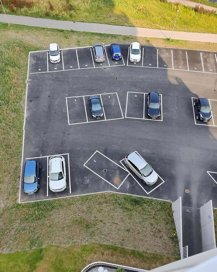
Downtown parking demands planning and budget allocation. Hotels charge $30 to $50 daily for parking. Street parking requires payment until 8:00 PM in most areas. Arrive early for street parking as spaces fill quickly.
Some neighborhoods offer free two-hour parking, though enforcement monitors carefully. Apps like SpotHero let you pre-book garage parking at discounted rates.
Neighborhood parking varies widely. Capitol Hill and the University District have limited street parking with most spots requiring permits during certain hours. Ballard Seattle offers more street parking but spaces fill during busy dining hours.
West Seattle generally provides easier parking than central neighborhoods. Understanding these patterns helps you decide when driving makes sense versus using transit.
How to Get Around Downtown Seattle?
How to get around downtown Seattle works best using a combination of walking and public transit. Downtown’s compact core allows walking between most major attractions. Pike Place Market to the waterfront takes 5 minutes on foot.
Pioneer Square to the retail core spans about 10 minutes. The Seattle Art Museum, Benaroya Hall, and Pacific Place shopping center all sit within easy walking distance of each other.
The Link Light Rail serves downtown with stations at Westlake, University Street, Pioneer Square, and International District. These stations connect downtown to neighborhoods throughout the city.
Westlake Station functions as the primary downtown hub with connections to buses and the monorail to Seattle Center. Trains arrive every 8 to 10 minutes making wait times minimal.
Streetcar Service
The First Hill Streetcar runs from Pioneer Square through the International District to First Hill and Capitol Hill. This route helps visitors reach areas on Capitol Hill not directly served by light rail.
The South Lake Union Streetcar connects downtown to the South Lake Union neighborhood where many tech companies maintain offices. Both streetcars cost the same as bus fare and accept ORCA cards.
Streetcars run less frequently than light rail with wait times of 10 to 15 minutes typical. They travel on surface streets sharing space with cars, meaning traffic can delay arrivals. Despite these limitations, they provide useful connections for specific routes not well-served by other transit.
Alternative Downtown Transportation
E-scooters from companies like Lime scatter throughout downtown for short trips. Unlock them via smartphone apps for quick rides between neighborhoods. Downtown’s relatively flat terrain makes scootering practical, though watch for pedestrians on crowded sidewalks. Ride in bike lanes when available for safety and better speed.
The Seattle Center Monorail connects Westlake Center downtown to Seattle Center in about 2 minutes. This elevated train serves tourists visiting the Space Needle, Chihuly Garden and Glass, and other Seattle Center attractions.
Trains depart every 10 minutes with round-trip tickets costing $6 for adults. The monorail offers scenic views and historical charm as one of the city’s iconic transportation options.
Seattle Transportation Guide for a Tourist
Getting around Seattle as a tourist requires focusing on major attractions and choosing transportation that maximizes sightseeing time while minimizing costs.
The Seattle CityPASS includes admission to top attractions and can be combined with transit passes for comprehensive coverage. Most tourists concentrate visits in downtown, Pike Place Market, Seattle Center, and waterfront areas—all highly accessible via public transportation.
A typical one-day tourist transportation plan starts with light rail from your hotel to Westlake Station. From there, walk to Pike Place Market, spending the morning exploring vendors and grabbing lunch.
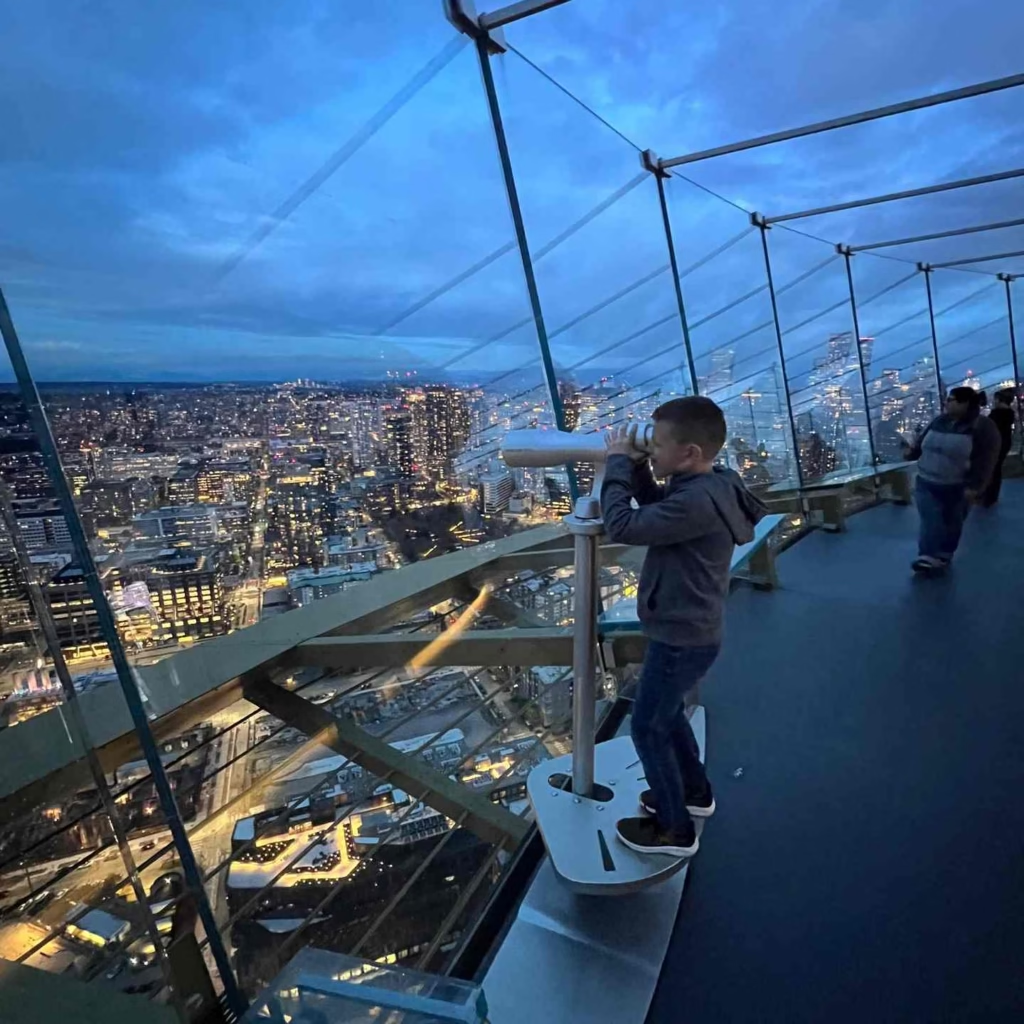
Walk down to the waterfront for views and the Seattle Great Wheel. Take the monorail from Westlake to Seattle Center for the Space Needle and museums.
Return downtown via monorail and catch light rail back to your hotel. This plan costs under $10 in transit and covers major attractions efficiently.
Multi-Day Transportation Passes
Visitors staying multiple days should purchase a seven-day ORCA card for $29. This pass provides unlimited rides on all transit systems, quickly paying for itself with frequent use.
The pass simplifies travel since you don’t need exact change or worry about individual ticket purchases. Load the pass at any light rail station or participating retail location.
Budget-conscious tourists maximize value by combining walking with strategic transit use. Seattle’s downtown concentration means you can walk between many attractions after using transit to reach the general area.
This approach provides exercise, closer views of neighborhoods, and saves money compared to taking transit for every small distance.
Reaching Major Attractions
The Space Needle sits at Seattle Center, accessible via monorail or bus routes 1, 2, 13, or 62. Chihuly Garden and Glass shares the same location. Pike Place Market requires only walking from most downtown hotels.
The Seattle Aquarium sits on the waterfront near Pike Place. The Museum of Pop Culture (MoPOP) is at Seattle Center. The Seattle Art Museum occupies downtown at First and University.
Gas Works Park in Wallingford requires bus route 62 from downtown. The Ballard Locks need bus route 40 or 44. Kerry Park’s famous skyline viewpoint involves bus route 13 to Queen Anne.
Understanding which attractions need transit versus walking helps you plan efficient daily itineraries without wasting time on unnecessary transportation.
Getting Around Seattle With Kids
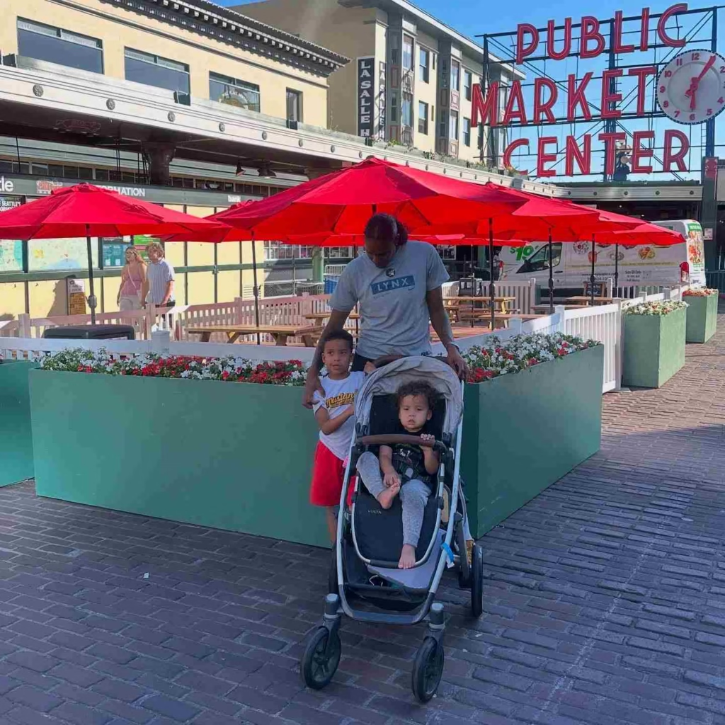
Getting around Seattle with kids demands consideration for stroller access, safety, bathroom availability, and children’s energy levels. Metro buses feature low floors and ramps making stroller boarding easier than traditional high-step buses.
Light rail provides even better stroller accessibility with level boarding and designated space near doors. Ferries offer plenty of room for strollers and active children needing to move around during rides.
Plan trips during off-peak hours when possible. Crowded buses and trains during rush hours become challenging with strollers and young children.
Mid-morning and early afternoon provide more comfortable travel with available seating. This timing also matches children’s schedules better, avoiding cranky evening meltdowns on public transportation.
Family-Friendly Transportation Choices
Rideshares work well for families when you need car seats. Request car seats through Uber’s car seat option, though availability in Seattle remains limited. Many families travel with portable car seats or boosters for taxi and rideshare use.
Children under 8 must use appropriate car seats or booster seats by Washington law, making this consideration non-negotiable.
Walking works for short distances but Seattle’s hills challenge families with young children. The climb up Capitol Hill’s Broadway from downtown exhausts adults, much less kids.
Plan routes using topographic knowledge, choosing flatter paths when possible. The Burke-Gilman Trail provides flat, car-free walking and biking perfect for families exploring University District or Ballard areas.
Time-Saving Family Strategies
Minimize transfers when traveling with children. Direct light rail service beats routes requiring multiple bus transfers even if slightly longer.
The simplicity reduces stress and keeps children happier. Pack snacks and entertainment for transit rides since Seattle’s size means some destinations require 30 to 45 minutes travel time.
Bathrooms on ferries make them excellent family transportation. Light rail stations lack public restrooms but downtown hotels and shopping centers provide facilities.
Plan bathroom stops strategically, especially with young children. This preparation prevents transit emergencies and keeps family travel smooth.
Is Seattle Public Transportation Safe?
Is Seattle public transportation safe is a question many visitors ask, and the honest answer requires nuance. Overall, Seattle’s transit system remains safe for most riders during daytime hours.
Millions of people use buses, light rail, and ferries daily without incident. However, like any major city, Seattle faces challenges with homelessness and drug use affecting some transit locations and routes.
Downtown light rail stations, particularly Pioneer Square and International District, see more concerning behavior than other stations. You might encounter people experiencing homelessness seeking shelter or individuals struggling with addiction.
These situations create discomfort for some riders but rarely involve direct threats. Stay aware of surroundings, keep valuables secure, and trust your instincts about moving away from situations that feel uncomfortable.
Day Versus Night Travel
Daytime transit travel is generally very safe throughout the system. Families, commuters, students, and tourists mix on buses and trains creating normal urban transit environments.
Security officers and transit police maintain visible presence at major stations and on light rail during peak hours. Their presence deters problems and provides assistance when needed.
Evening travel after 9:00 PM sees fewer riders and occasionally more problematic situations. Downtown buses and trains become less crowded, reducing the safety-in-numbers effect.
Some routes through specific neighborhoods have higher incident rates. Capitol Hill and University District generally feel safe late at night due to nightlife and student populations keeping areas active.
Practical Safety Measures
Stay alert and avoid obvious distractions like staring at your phone obliviously. Keep bags zipped and phones secured in pockets or hands rather than easily grabbed.
Sit near the driver on buses or in populated train cars. Trust your intuition about moving seats or cars if something feels wrong. Report serious concerns to drivers or use emergency call buttons on trains.
Most safety concerns in Seattle transit involve property crime like phone theft rather than violent crime. Taking basic urban precautions protects you from these issues.
Don’t leave bags unattended, avoid displaying expensive electronics unnecessarily, and remain aware of people around you. These simple steps ensure safe transit experiences throughout Seattle’s system.
Shuttle to Hotel Options
Shuttle to hotel services from Sea-Tac Airport provide convenient middle-ground transportation.
Shared shuttles cost $18 to $30 per person depending on destination, offering better value than rideshares for solo travelers while providing more comfort than public transit with luggage.
Companies like Shuttle Express, Premier Airport Shuttle, and Seattle Airport Shuttle operate regular routes to major hotel districts.
These services require advance booking for guaranteed space though walk-up availability exists when shuttles aren’t full. Book online before your flight for best rates and assured pickup.
Upon arrival, check in at shuttle company counters in baggage claim. Staff direct you to pickup locations typically on the third floor parking garage. Wait times average 15 to 30 minutes depending on passenger volume and scheduled departure times.
Hotel-Specific Shuttle Service
Many hotels near Sea-Tac Airport operate free shuttles for guests. These hotels cluster around the airport within 2 to 3 miles, making shuttles practical. Call your hotel from baggage claim to confirm shuttle pickup.
Hotels typically provide courtesy phones near baggage claim specifically for this purpose. Shuttles run on set schedules, usually every 30 minutes from early morning until late evening.
Downtown hotels rarely offer free airport shuttles due to the 14-mile distance making service economically impractical. However, some partner with shuttle companies to provide discounted rates for guests.
Ask about transportation options when booking your room. Luxury hotels sometimes arrange private car service for guests at premium prices ranging from $75 to $120.
Neighborhood Coverage
Shuttles serve major hotel districts including downtown, South Lake Union, University District, and Seattle Center areas most reliably.
Hotels in neighborhoods like Ballard, Fremont, or West Seattle have limited shuttle service, making rideshares or rental cars more practical options. Capitol Hill hotels can be reached by shuttles though may require short taxi rides from downtown shuttle stops.
Cruise passengers staying at hotels near embarkation piers benefit from cruise-specific shuttles coordinating with popular sailing times.
These shuttles handle luggage efficiently and understand timing requirements for boarding deadlines. Rates run $20 to $35 per person with direct service between airport and cruise terminals.
Best Tips for Getting Around Seattle Washington
Getting around Seattle Washington successfully requires understanding payment systems, weather preparation, and strategic timing. The ORCA card simplifies all transit payments and should be your first purchase upon arrival.
Load enough value for your anticipated trips plus a buffer for unexpected journeys. The card works everywhere eliminating the need to carry exact change or buy individual tickets repeatedly.
Avoid driving during weekday rush hours unless absolutely necessary. The time difference between smooth traffic and gridlock is dramatic. A trip taking 20 minutes at noon takes 50 minutes at 5:30 PM.
Plan meetings and activities around traffic patterns when possible. If you must drive during peak times, build in extra buffer time to avoid late arrivals causing stress.
Weather Considerations
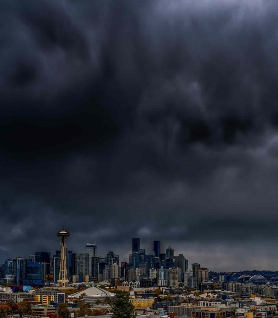
Seattle’s weather affects transportation choices significantly. Rain falls frequently from October through May, making covered transit options more appealing than walking or biking.
Light rail stations provide covered platforms, but some bus stops lack shelters. Waterproof jacket and comfortable walking shoes with good traction help you navigate wet conditions confidently.
Summer months from June through September offer dry weather perfect for walking and outdoor transportation.
Winter occasionally brings snow causing transit disruptions. Seattle’s hilly geography combined with limited snow removal resources means buses struggle on steep routes.
Light rail continues operating during snow since tracks get cleared, making it the most reliable transit during winter weather. When snow arrives, expect delays and altered bus routes serving hillier neighborhoods.
Time-Efficient Planning
Download transit apps before arriving in Seattle. OneBusAway provides real-time bus and train arrivals with service alerts. Transit app offers comprehensive trip planning across all transportation modes including bikes and scooters.
Google Maps works well for basic navigation but lacks some real-time transit accuracy. Having multiple apps ensures you can find solutions when one lacks certain information.
Study the light rail map and identify stations near your planned destinations. This single line connects vast portions of Seattle efficiently.
Base your daily planning around light rail access combined with short bus rides or walks for final destinations. This strategy minimizes travel time and simplifies navigation compared to complex multi-transfer bus routes.
Conclusion
Getting around Seattle offers diverse options matching different travel styles and needs. Light rail provides the foundation for efficient navigation connecting airport to downtown and beyond.
Buses extend reach into neighborhoods while ferries add scenic travel across Puget Sound. Rideshares fill gaps when transit doesn’t serve specific routes or timing requirements.
Budget travelers thrive using ORCA cards and public transit saving hundreds compared to daily rideshares or rental cars. Families benefit from strategic combinations of transit and rideshares based on specific trip needs.
Business travelers appreciate flexible options balancing time efficiency with cost considerations. Tourists discover Seattle’s neighborhoods more authentically via public transportation than isolated in rental cars.
The key to successful Seattle navigation is matching transportation to circumstances rather than relying exclusively on one method. Some days light rail perfectly serves your needs.
Other days warrant rideshare convenience. Understanding all options and when each works best ensures smooth travel throughout your Seattle experience, whether visiting for a weekend or navigating daily life in the Emerald City.


