
Seattle Light Rail Guide (Everything You Need to Know)
Living in Seattle for years has taught me that mastering the Link Light Rail is honestly one of the best decisions you can make as a visitor or new resident.
I’ve watched this system grow from a modest downtown connector to a genuinely useful transportation network that now reaches from the airport all the way to Northgate and beyond.
Whether you’re landing at SEA Airport with your luggage in tow or trying to figure out the most efficient way to explore Pike Place Market, Capitol Hill, and the University of Washington in one day, the light rail is your answer.
I’ve guided countless friends and family members through their first rides, and once you understand the basics of the Seattle light rail map and how ticketing works, you’ll wonder why you ever considered renting a car or spending hundreds on rideshares during your visit.
This Seattle Light Rail Guide draws from my personal experiences riding the Link Light Rail multiple times weekly, combined with the most current information from Sound Transit’s official resources.
I’ll walk you through everything from understanding the Seattle light rail schedule to knowing exactly which station gets you closest to your hotel Downtown. Consider this your insider’s manual to navigating one of the most efficient Seattle transportation options available.
Seattle Light Rail Map PDF
What Is the Seattle Light Rail?
The Seattle Light Rail, officially called Link Light Rail, is Sound Transit’s rapid transit system that connects major neighborhoods, business districts, universities, and Sea-Tac Airport through a modern, mostly grade-separated train network.
When people talk about getting around Seattle without a car, this is usually what they mean. The system opened its first segment back in 2009, and I still remember the excitement of finally having a direct rail connection from downtown to the airport, something that felt long overdue for a city of Seattle’s size.
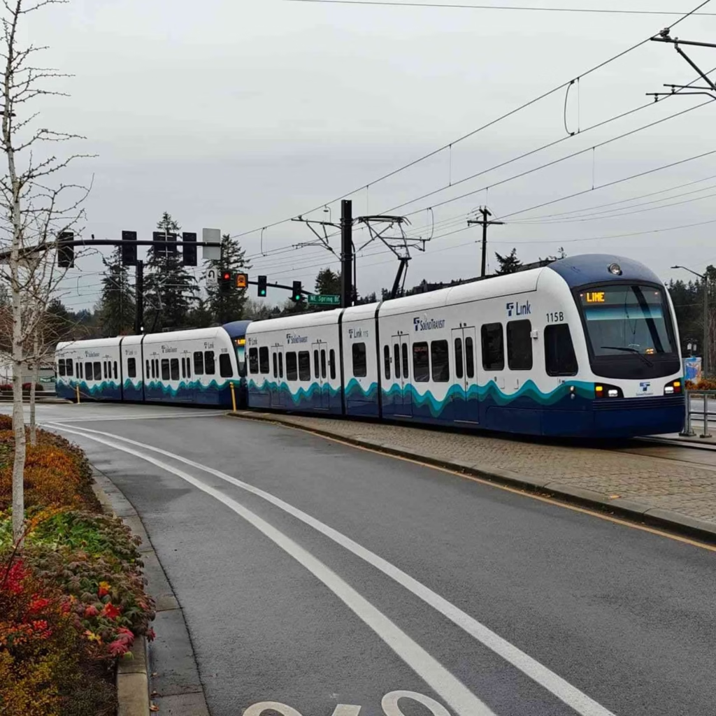
Today’s Link Light Rail operates primarily along the 1 Line, which runs north-south through the heart of Seattle and its surrounding communities. The trains are clean, quiet, and air-conditioned, running on electricity with zero emissions at the point of use.
Each train consists of multiple cars that can accommodate standing and seated passengers, along with dedicated spaces for wheelchairs, bicycles, and luggage. The system uses a proof-of-payment model, meaning you must have a valid fare before boarding, but there aren’t turnstiles at every station, so occasional fare enforcement officers check tickets during rides.
Future expansions heading to Lynnwood, Federal Way, Redmond, and eventually Tacoma and Everett will transform this from a primarily Seattle-focused system into a true regional transportation network. For travelers planning Seattle itinerary options, understanding these expansions helps you think long-term about accommodation locations and day trip possibilities.
Light Rail Routes & Line Overview
Understanding the current Seattle light rail map doesn’t require a transportation degree, but knowing what exists now versus what’s coming soon helps set realistic expectations. Right now, the operational system is simpler than you might expect, which is actually a good thing for first-time visitors.
1 Line (Northgate → Angle Lake)
The 1 Line represents the entire operational Link Light Rail system as of now, stretching approximately 25 miles from Northgate in North Seattle down through downtown, past the airport, and terminating at Angle Lake in the south.
This single line serves 22 stations and takes about 65 minutes to traverse the entire route end-to-end, though most travelers will only use a portion of it. I typically ride from Capitol Hill to Westlake for downtown errands, which takes just about 5 minutes, making it faster than fighting traffic and parking.
Key stations along the 1 Line include Northgate (with its massive transit center and mall), University of Washington (serving the sprawling campus and Husky Stadium), Westlake (downtown’s main hub connecting to the bus tunnel), Pioneer Square (historic district), International District/Chinatown (amazing food options), Stadium (for Seahawks and Sounders games), SODO, Beacon Hill, and several Rainier Valley stations before reaching SeaTac/Airport Station and continuing south to Angle Lake.
Who should use the 1 Line? Essentially, everyone visiting Seattle. Airport arrivals will start here, sports fans heading to games rely on it, university students and staff use it daily, and tourists find it connects most major attractions efficiently.
Future Expansions (Lynnwood, Federal Way, Redmond)
Sound Transit has several major expansions in active construction or final planning that will significantly extend the system’s reach. The Lynnwood extension will push north from Northgate, adding stations in Shoreline and Lynnwood, opening access to communities that have been underserved by rapid transit. I have friends in Shoreline who are counting down the days until they can ditch their cars for daily commutes.
The Federal Way extension heads south from Angle Lake, serving Kent, Des Moines, and Federal Way with additional stations. Meanwhile, the East Link extension is perhaps the most exciting for many, connecting Seattle across Lake Washington to Mercer Island, Bellevue, and eventually Redmond, home to Microsoft’s massive campus.
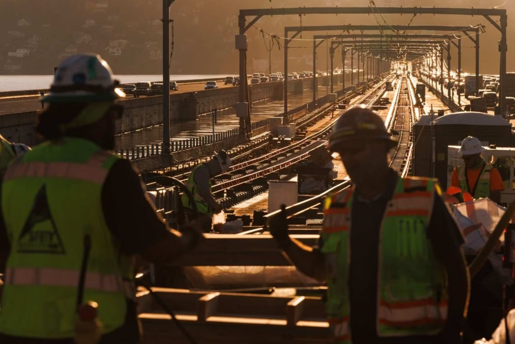
This extension will open up entirely new possibilities for visitors wanting to explore the Eastside’s dining scenes, shopping destinations, and tech culture.
The Redmond extension specifically matters for technology industry visitors or anyone with business on the Eastside. Once operational, you’ll be able to reach Microsoft, downtown Bellevue’s high-rises and restaurants, and Redmond’s attractions without needing a car.
These expansions are scheduled to open in phases through 2024-2025, so checking the current Seattle light rail map future plans before your visit helps you understand what options might be available during your stay. Sound Transit’s website maintains updated timelines, though construction schedules can shift.
Seattle Light Rail Fares, Tickets & ORCA Card Guide
Let me be straight with you about one thing: understanding the fare system saves money and stress. I’ve watched too many confused tourists fumbling with ticket machines while missing trains, so let’s break this down clearly.
How Much Does It Cost?
Sound Transit uses a distance-based fare structure, meaning the farther you travel, the more you pay. As of 2024, fares range from $2.25 for short trips to $3.50 for longer journeys.
The most common trip visitors take—from SeaTac/Airport Station to downtown Westlake—costs $3.00 for adults. Youth fares (ages 6-18) receive reduced rates, typically around $1.50, while children under 6 ride free when accompanied by a fare-paying passenger.
Senior citizens 65 and older, people with disabilities, and ORCA LIFT cardholders (income-qualified reduced fare program) pay just $1.00 for most trips, which I think represents genuinely equitable pricing for those who need it most.
Active military personnel and Medicare cardholders also qualify for reduced fares with proper identification. If you’re planning multiple trips throughout the day, these per-ride costs add up quickly, making day passes worth considering for extensive Seattle travel tips.
Sound Transit doesn’t charge premium fares for airport service, unlike some cities that tack on extra fees when using rail to reach terminals. This makes the Link Light Rail one of the most economical airport transportation options anywhere in the country.
Compare that $3.00 rail fare from the airport to downtown against $50-60 for a taxi or rideshare, and the value proposition becomes crystal clear, especially for solo travelers or couples who don’t benefit from splitting vehicle costs among larger groups.
How to Pay?
You have several options for paying your Link Light Rail fare, and I strongly recommend choosing wisely based on your visit length. Here’s what works:
ORCA Card
The ORCA Card remains the most versatile option for anyone spending more than a day or two in Seattle. ORCA (One Regional Card for All) is a reloadable smart card accepted across Sound Transit light rail, buses, Seattle streetcars, King County Metro buses, and several other regional transit agencies.
You can purchase physical ORCA cards from ticket vending machines at any light rail station for a $3 card fee, then load it with stored value (e-purse). The card taps on readers at station platforms before boarding, automatically deducting the correct fare based on your trip distance.
The ORCA app on smartphones has revolutionized fare payment recently, and I use it almost exclusively now. Download the app, create an account, add a payment method, and you can purchase and store digital ORCA cards on your phone.
The app displays a barcode that you scan at validators, eliminating the need for physical cards entirely. This proves especially convenient when you realize mid-trip that your stored value is running low, since you can instantly reload through the app without finding a ticket machine.
Tickets Vending Machines
Ticket vending machines at every station accept credit cards, debit cards, and cash, dispensing paper tickets for those who prefer not to deal with ORCA. These machines offer instructions in multiple languages and guide you through selecting your destination to calculate the correct fare.
Day passes provide excellent value for tourists planning multiple trips. The Link Light Rail day pass costs $8 and allows unlimited rides for one calendar day. If you’re making three or more trips around Seattle, the pass pays for itself while eliminating the mental math of tracking individual fares. Purchase day passes from ticket vending machines or load them onto your ORCA card.
Seattle Light Rail Hours & Train Frequency
The Link Light Rail operates extensive hours that accommodate early airport departures, late-night arrivals, and pretty much everything in between, though it’s not quite 24-hour service. Understanding the Link light rail schedule helps you plan connections and avoid finding yourself stranded late at night.
Weekday operations typically run from approximately 5:00 AM to 1:00 AM, with the first trains departing from end-of-line stations around 5:00 AM and last trains leaving around midnight to complete their routes by 1:00 AM.
These times can vary slightly by a few minutes depending on which station you’re using, so checking the specific Link light rail schedule for your departure point is wise if you’re cutting it close. I learned this lesson the hard way once, when I assumed I had more time after a concert than I actually did.
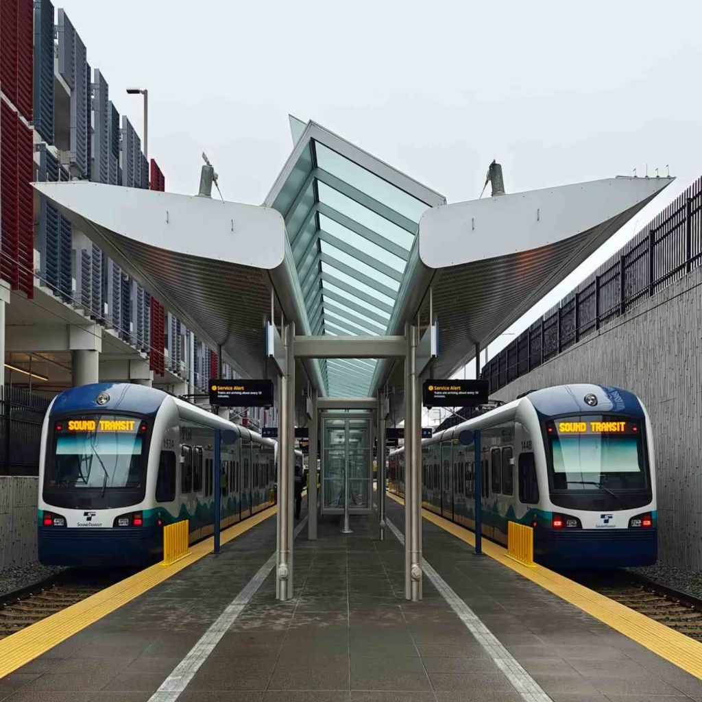
Weekend hours mirror weekdays on Saturdays, maintaining that same approximate 5:00 AM to 1:00 AM window. Sunday service traditionally started later and ended earlier, but recent schedule changes have largely standardized weekend operations to match weekday hours, which I appreciate as someone who enjoys weekend adventures as much as weekday errands.
Train frequency varies significantly between peak and off-peak times. During weekday morning and evening rush hours (roughly 6:00-9:00 AM and 3:00-7:00 PM), trains arrive every 8-10 minutes, providing frequent enough service that you rarely wait long.
Midday, evening, and weekend trains run approximately every 10-15 minutes, which still feels reasonably frequent for most purposes. Late-night service after 10:00 PM can stretch to 15-20 minute intervals, so plan accordingly if you’re bar-hopping in Capitol Hill or catching a late movie downtown.
Real-time arrival information displays at every station show exactly when the next trains are coming, eliminating guesswork. These displays also indicate whether trains are on schedule or experiencing delays, along with any service alerts you should know about.
The OneBusAway app and Sound Transit’s official trip planner provide the same real-time information on your phone, which I check religiously before leaving home to optimize my timing.
Seattle Airport Light Rail Guide (SEA → Downtown)
If you’re flying into Seattle-Tacoma International Airport, the light rail offers the most stress-free path into the city, and I recommend it to virtually everyone who asks. Let me walk you through exactly how this works, because it’s easier than you might think.
After collecting your luggage and clearing customs if arriving internationally, follow the signs for “Link Light Rail” or “Ground Transportation.” The airport terminal has clear directional signage with the Link Light Rail logo—a simple design that’s hard to miss.
You’ll make your way down escalators or elevators from the baggage claim level, exiting the terminal building and walking across a skybridge. This covered walkway protects you from Seattle’s famous rain while providing nice views of aircraft operations if you’re into that sort of thing.
The skybridge deposits you directly at SeaTac/Airport Station, where you’ll immediately see ticket vending machines. This is where you’ll either purchase your first ride, load an ORCA card, or tap your ORCA app if you set it up before arrival (smart move).
The machines accept credit cards reliably, though having a backup payment method never hurts. Buy a ticket to your destination station or load enough value to cover your anticipated rides. For first-time visitors heading downtown, I recommend loading at least $10-15 to cover a few days of basic travel.
Once you have your fare sorted, proceed to the platform following signs indicating “Northbound to Northgate.” All trains from the airport head north toward Seattle, so you don’t need to worry about accidentally boarding a southbound train, but double-checking the displayed destination never hurts. The platform has digital displays showing next train arrivals, typically every 10-15 minutes depending on time of day.
The journey from SeaTac/Airport Station to downtown Westlake Station takes approximately 37 minutes, making intermediate stops at Angle Lake, Rainier Beach, Columbia City, Mount Baker, Beacon Hill, SODO, Stadium, International District/Chinatown, Pioneer Square, University Street, and finally Westlake.
The best stop for hotels varies by property location, but generally speaking, Westlake Station serves most Downtown Seattle hotels near Pike Place Market and the retail core, University Street Station puts you closest to the waterfront, and some of the higher-end properties, and Pioneer Square Station works for boutique hotels in the historic district.
Seattle Light Rail Major Stations & What’s Nearby
Understanding which stations serve which attractions makes trip planning infinitely easier. Let me give you the insider perspective on the most useful stops for visitors.
Westlake Station
Westlake represents the beating heart of Seattle’s light rail system, functioning as the primary downtown hub where most visitors will eventually find themselves. Located at the corner of 5th Avenue and Pine Street, this underground station sits directly beneath the Westlake Center shopping mall and places you within easy walking distance of Pike Place Market (about 6 blocks west), downtown hotels, major retailers, restaurants, and the waterfront.
The station connects seamlessly with the downtown bus tunnel, where you can catch numerous King County Metro routes serving neighborhoods not directly on the light rail line. Need to reach Fremont, Ballard, or West Seattle? Your connection starts here.
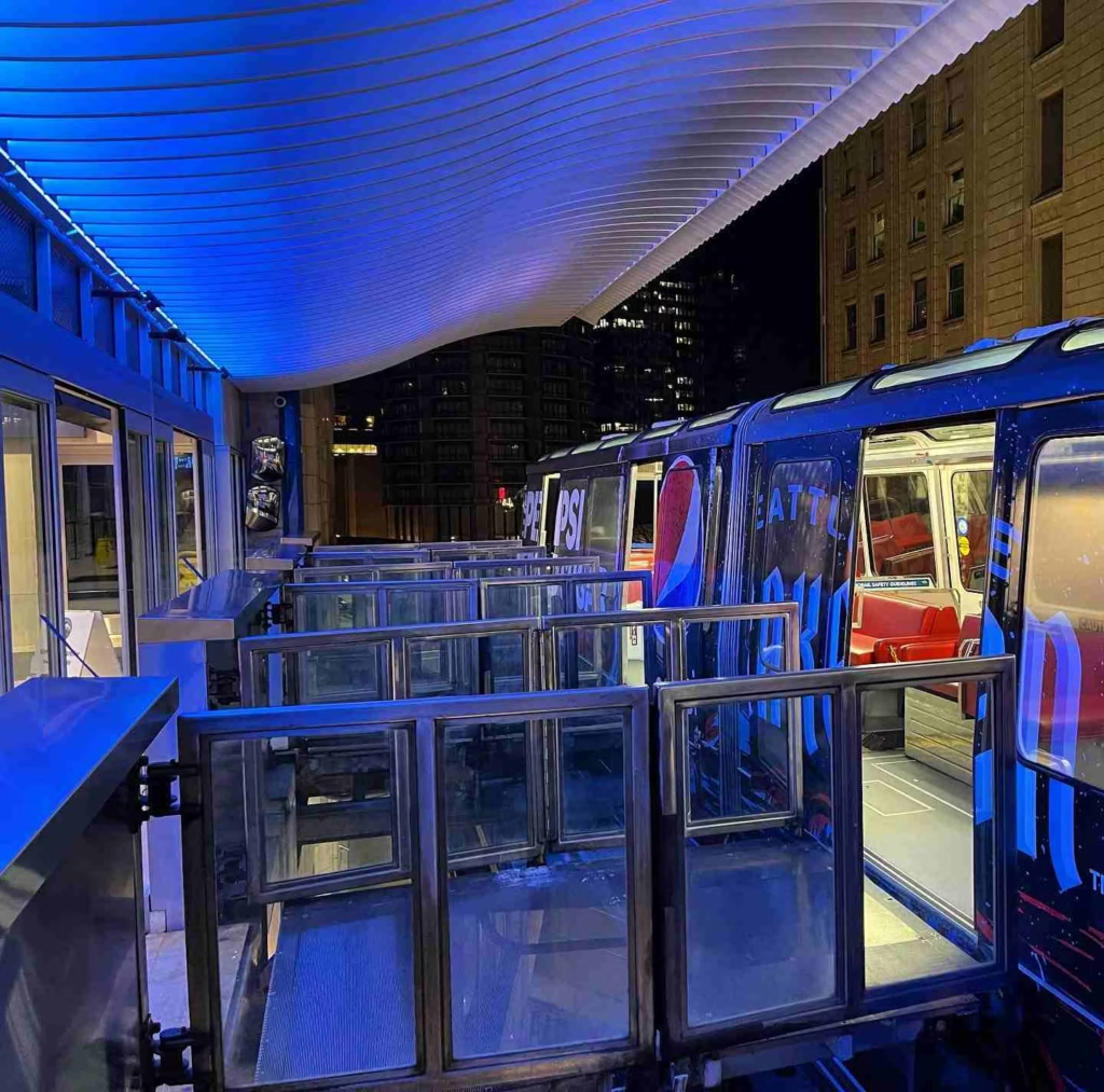
University of Washington Station
Serving the sprawling University of Washington campus, this station drops you at the heart of one of the nation’s premier public research universities. The U District, as locals call it, offers college-town dining, the beautiful UW campus with its cherry blossoms in spring, Husky Stadium for football games, and the Burke Museum for natural history enthusiasts. The University Village shopping center sits about a mile north if you’re interested in upscale retail.
Transfer options here include multiple bus routes serving North Seattle neighborhoods, the U District’s commercial core along University Avenue (known as The Ave), and connections toward the Eastside via SR-520. The station serves as a major transit center, so expect crowds during university term times, especially between classes.
Capitol Hill Station
Located at Broadway and John Street, Capitol Hill Station serves Seattle’s historic restaurants, vintage shops, and progressive culture. This station opened in 2016 as part of the University Link extension, and I still remember how it revolutionized access to a neighborhood that was previously somewhat isolated from downtown, requiring bus connections or steep uphill walks.
The Broadway corridor offers endless dining options representing cuisines from around the world, live music venues, bars ranging from dive to upscale, and the historic Egyptian Theatre. Pike/Pine corridor, a few blocks south, delivers even more nightlife density.
Capitol Hill is also increasingly expensive and gentrifying, so you’ll see contrasts between longtime residents and newcomers, quirky independent shops alongside chain stores.
This station includes one of the nation’s deepest escalators, descending approximately 220 feet below street level—the ride takes about 2.5 minutes, which feels surreal the first time you experience it.
International District/Chinatown Station
Positioned at 5th Avenue South and South Jackson Street, this station serves Seattle’s historic Asian-American neighborhood, home to excellent Chinese, Vietnamese, Japanese, and other Asian restaurants, the Wing Luke Museum, Hing Hay Park, and the popular Uwajimaya Asian grocery store.
This station also functions as the connection point for King Street Station, just two blocks south, where you can catch Amtrak’s Cascades trains to Portland, Vancouver BC, and other Pacific Northwest destinations, or Sound Transit’s Sounder commuter rail to Tacoma and Everett during weekday peak hours. If you’re planning day trips from Seattle via rail, this is your starting point.
Transfer options abound here, with buses serving the Eastside via I-90, South Seattle neighborhoods, and Georgetown. Evening visits for dinner have always felt safe in my experience, though the area becomes quieter late at night compared to Capitol Hill Neighborhood or Belltown.
Northgate Station
Northgate represents the current northern terminus, serving the Northgate Mall area and functioning as a major transit center for North Seattle and beyond.
This station opened in October 2021, dramatically improving access for Northgate residents who previously relied entirely on buses for downtown commutes that could take 45+ minutes during traffic. The light rail covers the distance in about 25 minutes.
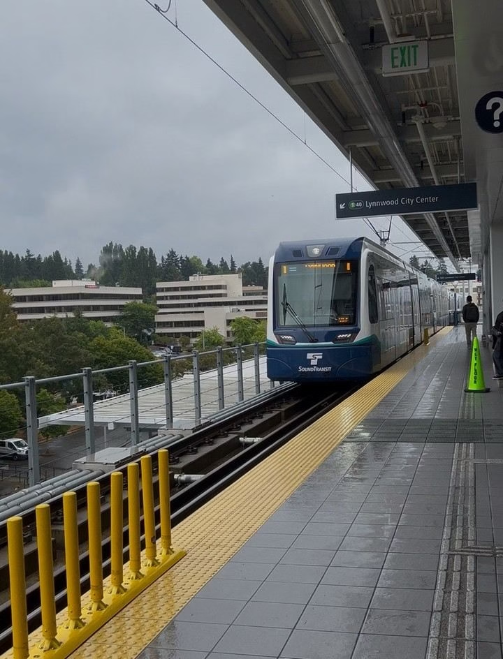
More importantly for visitors, the station serves as a jumping-off point for North Seattle neighborhoods like Maple Leaf and Lake City via connecting buses, and eventually will connect to the Lynnwood extension serving communities even farther north.
The transit center here includes extensive bus bays serving routes to Shoreline, Lake City, Sand Point, and other areas. Park-and-ride lots provide commuters with options to drive partway and complete their journey via rail, though these lots fill up during weekdays.
Using the Light Rail: A Step-by-Step Guide
Let me walk you through the complete process of riding Link Light Rail from start to finish, because understanding the flow makes your first experience much smoother.
Buy or Prepare Your Fare
First, you’ll purchase or prepare your fare. If using ORCA, either have your physical card ready or open your ORCA app to display the barcode. If buying a paper ticket, approach any ticket vending machine on the platform, select your destination from the touch screen, and pay via credit card, debit card, or cash.
The machine dispenses a paper ticket with magnetic stripe. For paper tickets, you’ll need to insert them into the validation slot on the yellow validators located near platform entrances—do this even though there aren’t gates forcing you through, since fare enforcement officers randomly check passengers and you’ll face fines if caught without a validated ticket.
Validate Paper Tickets Before Entering the Platform
Next, locate the correct platform for your direction of travel. All stations clearly mark platforms as either “Northbound to Northgate” or “Southbound to Angle Lake,” eliminating directional confusion. Digital displays on each platform show the next arriving trains, their destination, and minutes until arrival.
Trains sometimes display different end-of-line destinations (for example, “Northbound to Northgate” versus “Northbound to UW Station” if a train is ending service early), so verify the displayed destination covers your intended stop.
Find the Right Platform for Your Direction
When your train arrives, wait for passengers to exit before boarding. Stand clear of the doors as they open, giving people space to disembark, then step aboard. Train cars have plenty of doors, so you don’t need to crowd around one entrance.
Once inside, hold onto overhead rails or poles if standing, or find an available seat. Priority seating near doors is designated for seniors, people with disabilities, and pregnant passengers—please respect these designations.
Check Train Destination on Digital Displays
During your ride, announcements and digital displays inside the train indicate upcoming stations. The announcements use both audio and visual formats, making them accessible regardless of hearing ability.
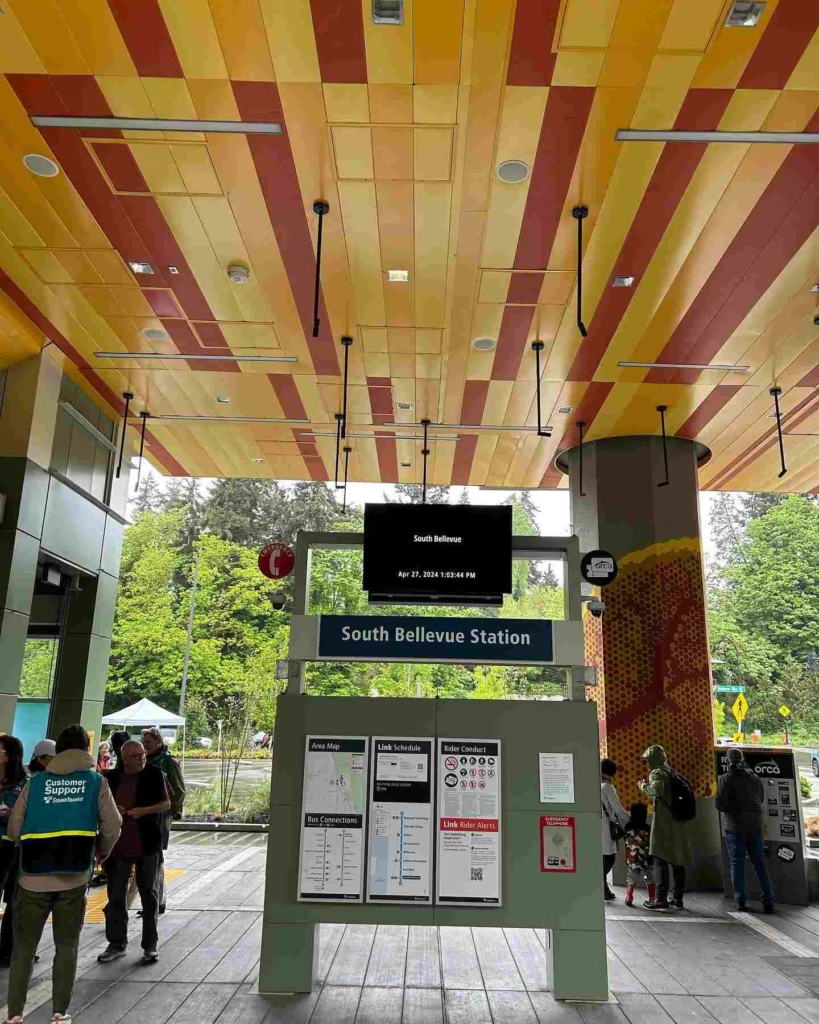
As you approach your destination, move toward the doors if you’re not already positioned there. The trains typically stop for 30-60 seconds at each station, which provides sufficient time for boarding and alighting, but don’t dawdle, or you might find doors closing before you exit.
No Tap-Off Needed on Link Light Rail
Tapping off is not required on Link Light Rail, unlike some transit systems. You tap or validate when boarding, and the system calculates your fare based on your entry and exit stations, though there’s no physical tap-off validator.
This occasionally confuses visitors from cities with tap-in/tap-out systems, but Seattle keeps it simple—just board with a validated fare and exit wherever you need.
Bus Transfers with ORCA Cards
Transfers to buses work through the ORCA system’s automatic two-hour window. If you tap your ORCA card on a bus validator within two hours of your initial light rail tap, the system recognizes it as a transfer and doesn’t charge an additional base fare. This makes multi-modal trips economical and encourages transit use. Paper tickets don’t offer this benefit, requiring separate bus fares.
Tips for Riding the Seattle Light Rail Like a Local
After years of daily light rail use, I’ve gathered knowledge and mention in Seattle Light Rail Guide, so, that it helps distinguish tourists from seasoned riders. Here’s what actually matters.
Crowd Tips
Best times to avoid crowds vary by station and purpose. Downtown stations like Westlake and University Street see peak crowding during weekday commute hours (7:00-9:00 AM, 4:30-6:30 PM), when trains fill with workers heading to and from offices.
If you’re visiting Pike Place Market or other tourist attractions, traveling mid-morning or early afternoon provides the most comfortable experience with available seating and breathing room.
Airport-bound travelers should anticipate that early morning trains (5:00-7:00 AM) carry airport workers and business travelers with early flights, while evening trains see leisure travelers returning from trips.
Safety Tips
Safety advice boils down to common urban awareness without excessive paranoia. Keep your belongings close, especially in crowded cars where pickpocketing could theoretically occur, though I’ve never personally experienced it or heard of it frequently.
Don’t leave bags unattended or hanging loosely where they could be grabbed during station stops. Late-night rides occasionally involve intoxicated passengers or people experiencing homelessness, which can feel uncomfortable even when not actually dangerous.
Sitting near other passengers rather than in empty cars late at night makes sense from a safety perspective.
Luggage Tips
Luggage tips matter primarily for airport travelers and tourists moving between accommodations. The trains handle luggage well with designated spaces near doors, but avoid blocking aisles or doorways during crowded periods.
If traveling with multiple large bags, consider off-peak hours when trains are less full. The overhead racks exist primarily for small bags, not full-size suitcases.
During rainy weather (which is most of Seattle), shake off umbrellas before boarding to avoid creating slippery floors, and be mindful that wet bags touching seats can irritate other passengers.
Accessibility Tips
Accessibility tips apply even for those without permanent mobility challenges. The elevators at every station provide access to platforms without stairs or escalators, crucial for wheelchairs, strollers, or heavy luggage.
All trains have designated spaces for wheelchairs and mobility devices near the doors, marked with clear signage. The gap between the platform and the train is minimal, and trains sit at platform height, making boarding smooth for wheelchairs and walkers.
Station announcements include audio cues for visually impaired passengers, and tactile platform edges help with wayfinding.
Light Rail vs Uber/Taxi vs Bus: Which Is Better?
This comparison comes up constantly with visitors trying to optimize their Seattle itinerary, and the answer honestly depends on your specific circumstances, though I lean heavily toward light rail for most situations.
Light rail wins on cost for solo travelers and couples absolutely every time. That $3.00 trip from the airport to downtown versus $50-60 for a rideshare represents massive savings that add up quickly over a multi-day visit.
The light rail day pass at $8 crushes the economics of multiple rideshare trips, even for shorter distances. For families or groups of four or more, the math shifts slightly since you’re splitting one rideshare fare versus paying multiple rail fares, but the light rail often still wins when you factor in day passes and the elimination of surge pricing during peak times.
Time considerations favor light rail during peak traffic hours when I-5 becomes a parking lot, and streets downtown move at a crawl. The light rail’s dedicated right-of-way means predictable travel times regardless of traffic conditions.
That airport-to-downtown trip stays at 37 minutes whether it’s Tuesday at 2:00 PM or Friday at 5:30 PM, while the same drive could range from 25 minutes to over an hour. For time-sensitive connections, this reliability matters enormously.
Convenience splits depending on your definition. Light rail requires walking to stations, navigating platforms, and potentially standing during crowded periods, which some find less convenient than door-to-door rideshare service.
However, I’d argue that not dealing with traffic stress, parking, surge pricing, or vehicle availability makes light rail more convenient for many trips. You walk up, tap your card, and board, with no app negotiations or waiting for drivers to arrive.
Buses fill in gaps where light rail doesn’t reach, serving neighborhoods like Ballard, Fremont, and West Seattle currently without rail access.
The bus network is extensive and affordable, but involves more complexity in route planning and typically slower travel times due to street-level operations. For tourists, I recommend sticking to the light rail for major attractions and using buses only when necessary, unless you enjoy the challenge of mastering a complex transit system.
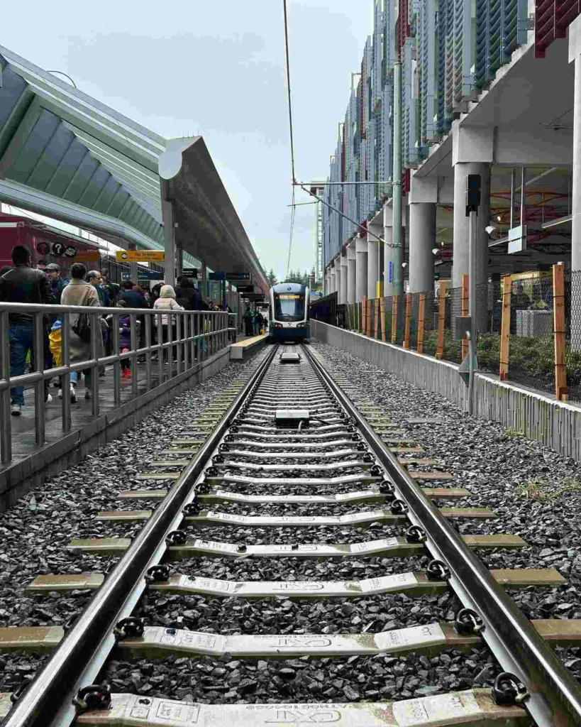
Common Mistakes First-Time Riders Make
I’ve made some of these mistakes myself and watched others, so I am going to mention in my Seattle Light Rail Guide, stumble through them, so learn from our collective errors.
ORCA Card Tips
Not tapping ORCA cards happens surprisingly often when passengers carry the card in wallets or bags and just wave them vaguely at validators without getting close enough for the reader to register.
You need to hold your ORCA card within about an inch of the validator until you hear a beep and see a green light confirming payment.
The validators don’t have the long-range reading capability of some newer contactless systems, so that wallet-through-the-pocket tap probably won’t work. I’ve watched fare enforcement officers cite passengers who thought they’d tapped but actually hadn’t—not worth the risk.
Downtown Tunnel Station Tips
Getting off in the wrong direction causes confusion in the downtown tunnel, where multiple stations have similar names and aesthetics.
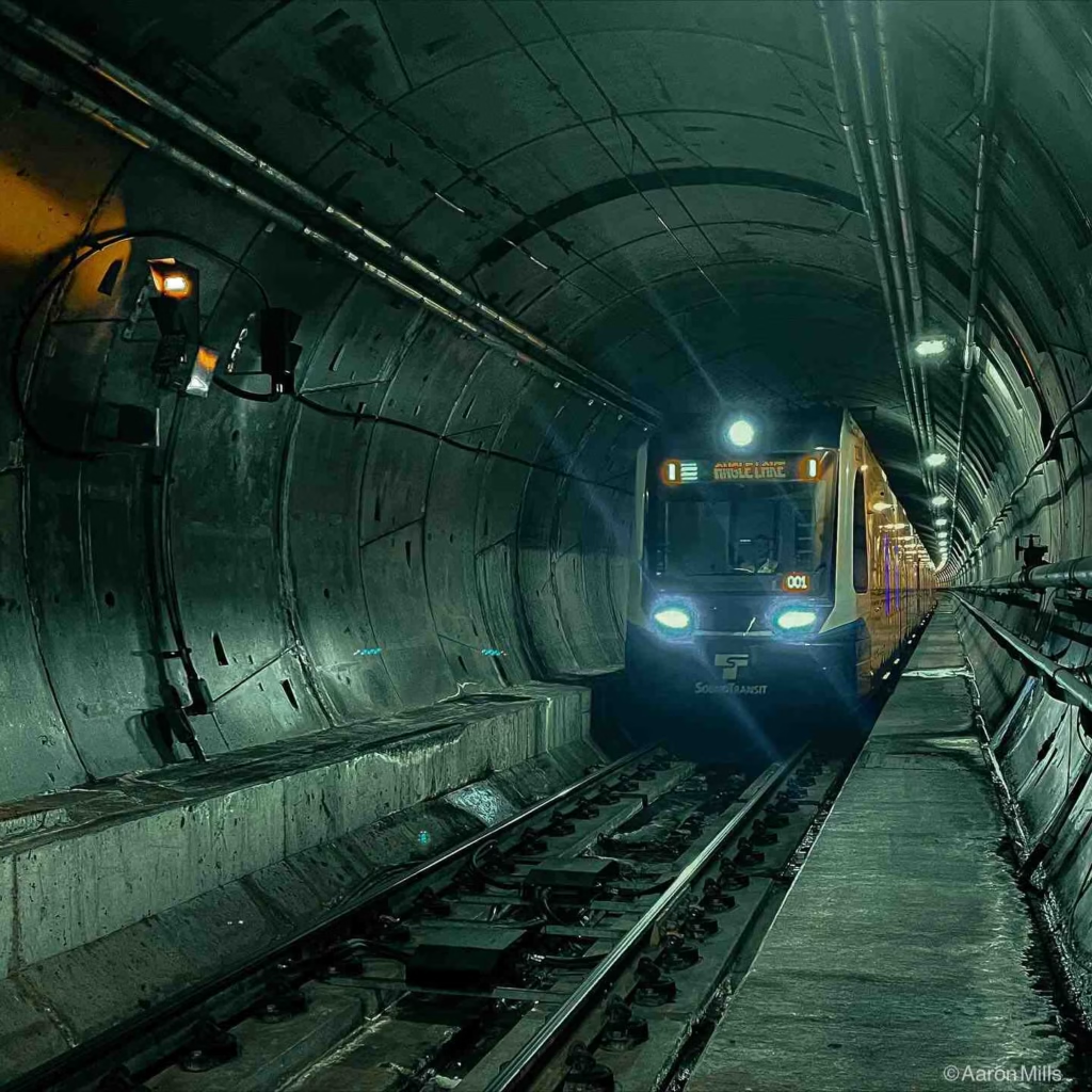
Westlake, University Street, Pioneer Square, and International District/Chinatown all exist underground in a relatively compressed area, and if you’re not paying attention to announcements, you might miss your stop or exit at the wrong one.
I recommend counting stops from your boarding point and watching the digital displays inside trains that show the next station prominently.
System Limitations
Confusing downtown tunnel stations particularly affect passengers trying to reach Pike Place Market from the airport. Some exit at University Street Station thinking “University” sounds right, when Westlake Station actually provides easier market access.
Others get off at Pioneer Square Station, which works but requires a longer walk and uphill climbing. Reviewing the Seattle light rail map before your trip and identifying your exact destination station prevents this confusion.
Late-Night Travel Tips
Assuming the light rail goes everywhere represents probably the biggest conceptual mistake. The current system serves a single north-south corridor effectively ,but doesn’t reach many Seattle neighborhoods that visitors want to explore, like Ballard, Fremont, Wallingford, or West Seattle.
Understanding the system’s limitations helps you plan realistic itineraries and know when to supplement with buses or rideshares rather than expecting light rail to solve all transportation needs.
Late-Night Travel Tip
Forgetting to check schedules before late-night trips has stranded a few friends who assumed trains ran 24 hours like in some major cities. That roughly 1:00 AM last train means planning your evening accordingly if you’re catching live music, eating late dinners, or bar hopping. Missing the last train means expensive rideshares or night buses, which aren’t always comfortable or convenient.
Final Thoughts: Is the Seattle Light Rail Worth It?
After all this Seattle Light Rail Guide, let me give you my genuine perspective: yes, absolutely, the Link Light Rail is worth using for most visitors to Seattle and represents one of the city’s best Seattle transportation investments in decades.
For tourists, the light rail solves the two biggest urban transportation challenges: airport connections and navigating downtown without a car. That SeaTac Airport to Seattle direct rail link alone justifies familiarizing yourself with the system, saving you significant money and stress compared to alternatives.
Once downtown, the rail efficiently connects Pike Place Market, the waterfront, sports stadiums, Chinatown-International District, Capitol Hill nightlife, and the University District without fighting traffic or parking challenges.
For commuters and residents, the system has transformed daily life in the neighborhoods it serves. I know people who sold cars after the Northgate extension opened, saving thousands annually on vehicle costs, insurance, parking, and fuel while actually reducing their commute times compared to driving during rush hour.


